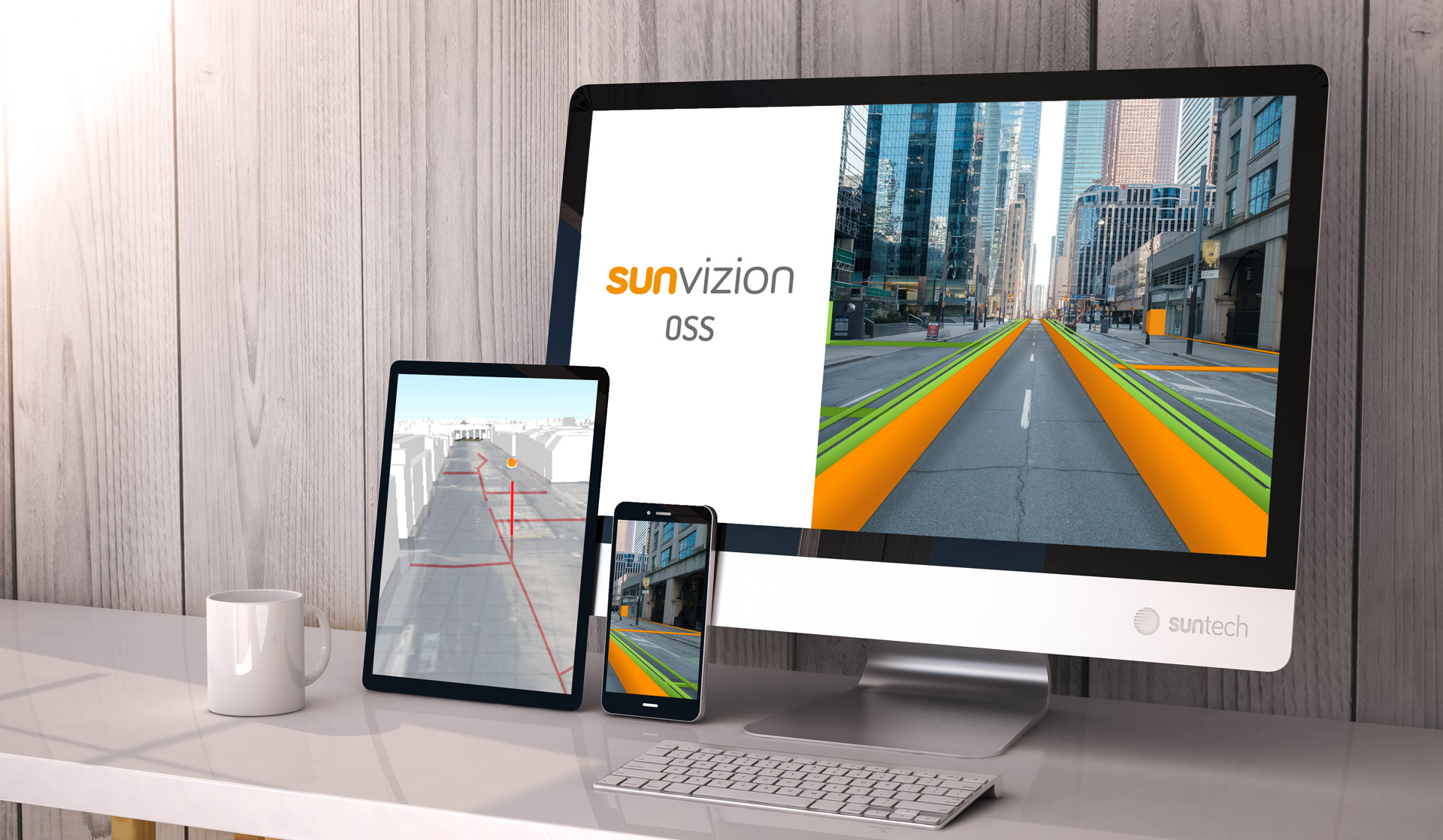
An upgraded version of SunVizion is on its way. It has loads of new functionalities, including 3D views, augmented reality, and advanced planning capabilities. The web-based portal also has significant add-ons, designed to make the lives of operations staff even easier.

Functionalities of Sunvizion version 17.0
Let’s start with 3D imaging. SunVizion users will not only be able to see 3D renditions of a city landscape, including buildings and ground elevation, but also view 3D models of infrastructure elements, such as pipelines and manholes.
SunVizion field workers, equipped with spatial views of data on their smartphone camera, will also have precise information about the location of hidden network elements. After selecting a specific network element, the user will receive full information about it.
Logical resource automation, greatly extended in the new version, will enable more complex service-fulfilment scenarios, involving Ethernet, WDM and SDH.

Another huge part of the SunVizion upgrade relates to network planning. Users will get advanced algorithms for planning 5G backhaul, as well as guidance on realizing optimal infrastructure usage, including duct trench capacity. The new version allows greater FTTx planning efficiencies, too, concerning the deployment of splitters.
By adopting the latest SunVizion iteration, users get a complete and ready‑to‑implement plan of the network, and all without the hassle of integrating further workloads.
What’s more, full functionality of the SunVizion logistics subsystem – previously only available on the desktop – will be transferred to our web‑based portal. Map editing, manipulation of objects, and the SunVizion Numbering Inventory subsystem also becomes part of our new-look web-based portal.
When will the new version be available?
SunVizion version 17.0 will be commercially available by the end of July.


